Ryan Mountain: Big Views in Joshua Tree NP
- Aug 10, 2025
- 3 min read
While Joshua Tree is best known for its surreal rock formations and its spiky namesake plant, the park has a surprisingly diverse array of hikes. Ryan Mountain is one of the standouts —a straightforward ridge trail that rewards with sweeping views of San Gorgonio Mountain, San Jacinto Peak, and the surrounding desert. No wonder it’s one of the most popular hikes in the park. Catch it at sunrise for a truly magical experience.
Trail Info
Trailhead Name | Ryan Mountain Trail |
Distance | 3 miles / 4.8 km (out and back) |
Estimated time | 1-2 hours |
Elevation gain | 1,000 ft / 300 m |
Highest point | 5,456 ft / 1,663 m (Ryan Mountain) |
Permits / fees | National Park Fee |
Parking | Paved lot |
Toilets? | Yes |
Dog friendly? | No (prohibited) |
Know before you go
This trail is exposed with minimal shade, so plan accordingly. . If you start early, you might get a brief bit of mountain shade at the beginning, but most of the trail bakes in the sun.
Ryan Mountain is very popular, especially for sunrise. It feels like a "classic" hike with steady elevation gain and a real summit , which draws a crowd. Expect company on the trail, especially if you’re chasing that golden hour glow.
Other trails nearby
Ryan Mountain is about a 10-minute drive from Jumbo Rocks, one of the most iconic areas of Joshua Tree. Think classic formations like Skull Rock and Split Rock, which is a great place to explore either before or after your summit hike.
The Trail
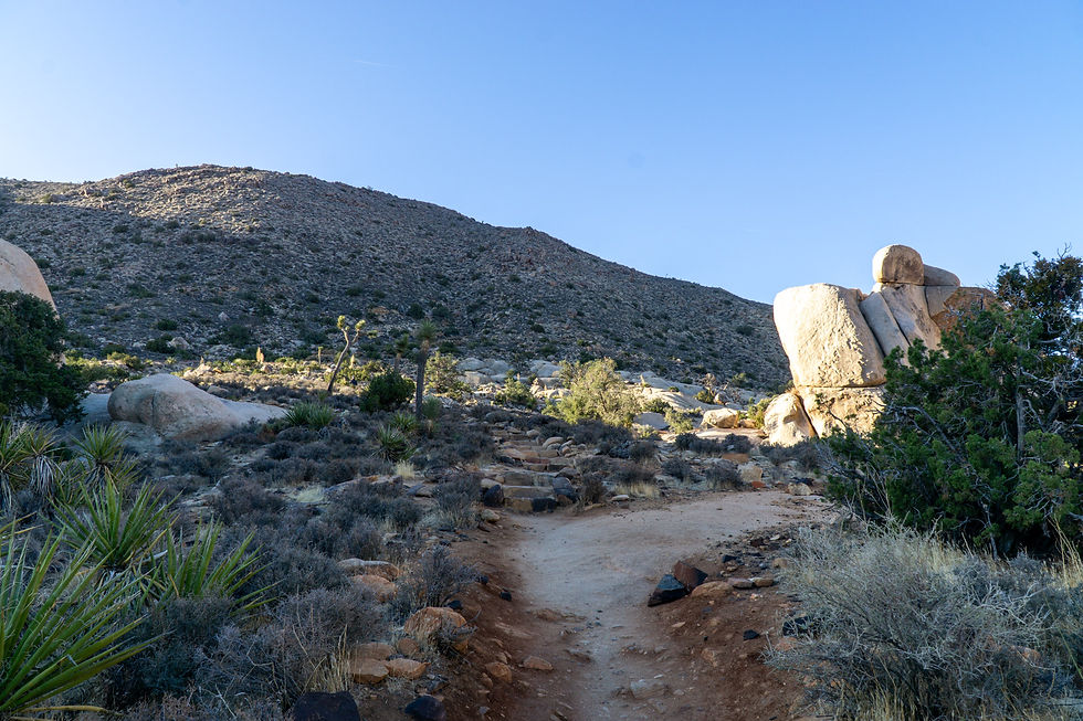
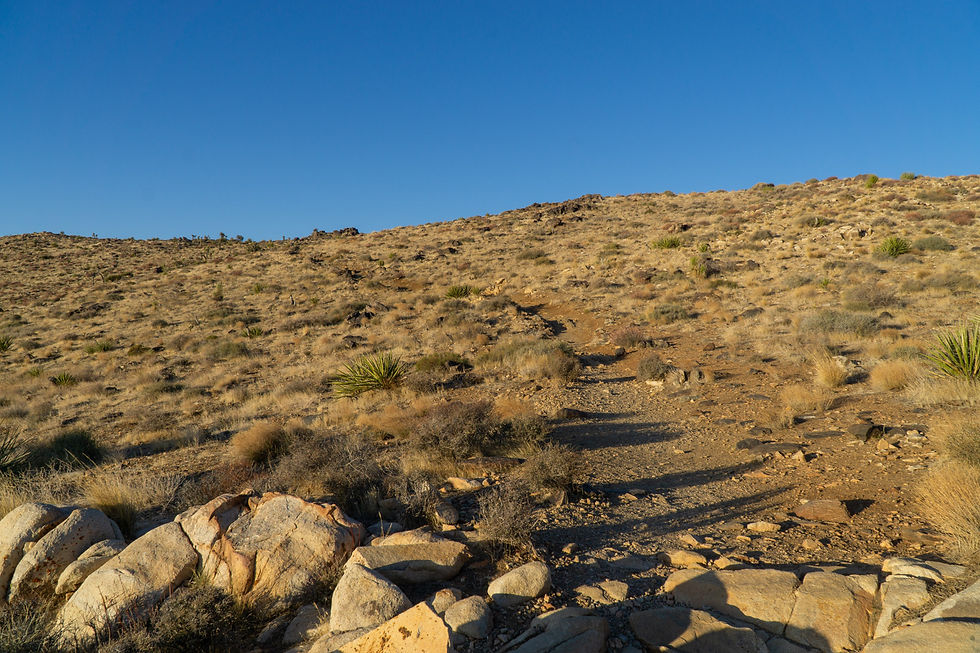
The climb starts immediately, with a series of stone stairs leading you up from the trailhead. (This photo was actually taken during my descent and you can already see the sun was in full force.)
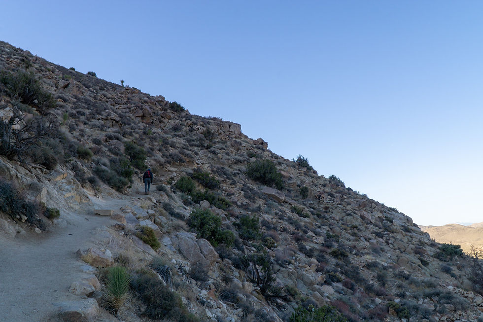
And that’s the theme for the hike — a steady climb along a well-maintained ridge. No tricky navigation, just a solid uphill grind.
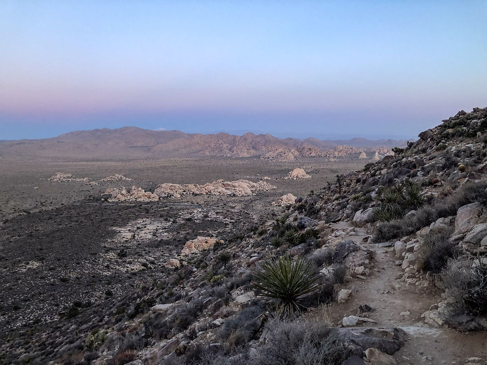
Make sure to pause and look back (and maybe catch your breath). You’ll catch some incredible desert views as the light shifts, and some of those signature Joshua Tree rock formations begin to come into view.
Almost there…

Summit! A pile of boulders marks the top. From here, wander a bit. The summit area is broad and gives you plenty of vantage points.
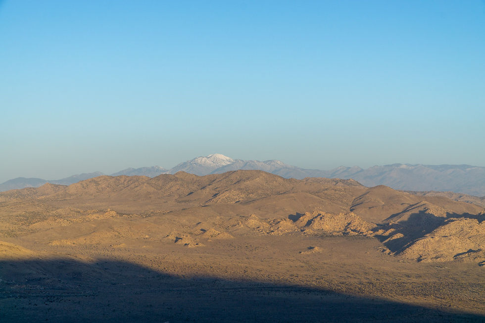
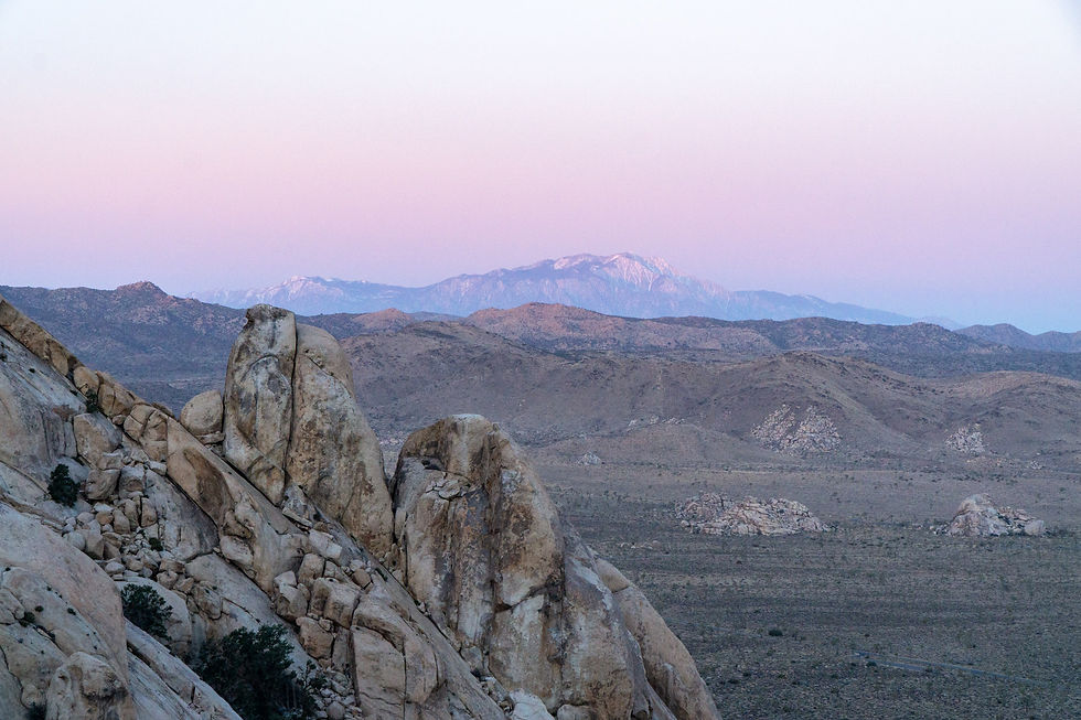
Looking out from the summit, you’ll spot San Gorgonio Mountain (11,503 ft / 3,506 m), the tallest peak in Southern California.
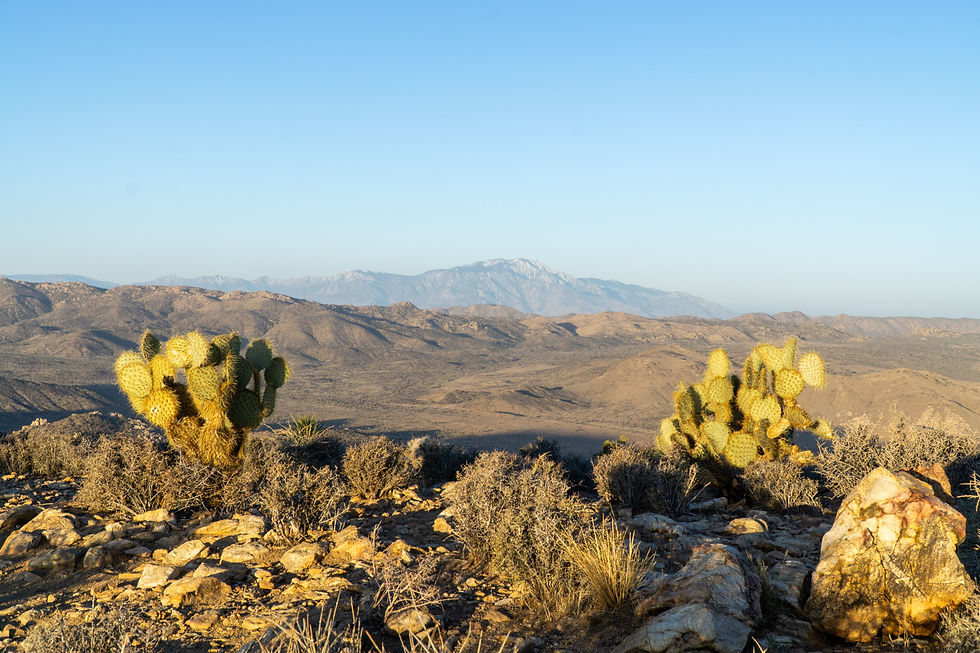
And not far off is San Jacinto Peak (10,834 ft / 3,302 m), rising sharply over the Coachella Valley.
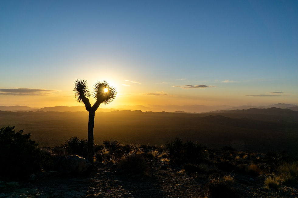
And of course a classic Joshua Tree shot to round it out. This one felt like it was perfectly cradling the ball of the sun.
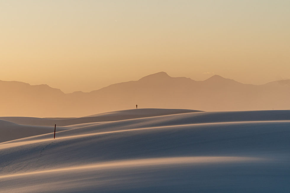
One last sunrise shot with those purple hues stretching over the horizon, casting their glow across the ridgelines and desert below.
SS Reflections
Joshua Tree was the first stop on what would become a 20+ park, 4-month road trip. And what a way to kick things off! The day before, I’d been totally captivated by the bizarre and beautiful rock formations scattered throughout the park. Experiencing Ryan Mountain at sunrise took it to the next level. There's something about desert sunrises —the way the purple tones linger over the landscape — that felt totally new after five years living in Hawaii. This was the kind of start that makes you feel like you’re on the right path.
Other helpful resources
Hiking Guy's writeup of this hike